

No products in the basket.
Maps
-

Beeston 1913
£3.00 -

Belvoir Castle & Beyond (Yellow Walk Map)
£4.95 -

Bulwell 1913
£3.50 -

Caunton, Norwell, Hockerton, Upton & Kelham (Yellow Walk Map)
£4.95 -

Central Nottingham 1913
£3.50 -

Clumber Park & the Dukeries (Yellow Walk Map)
£4.95 -

Cresswell Crags (Yellow Walk Map)
£4.95 -

Dukeries and Sherwood Forest (N) 1906
£3.50 -
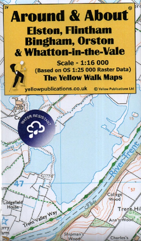
Elston, Flintham, Bingham, Orston & Whatton-in-the-Vale (Yellow Walk Maps)
£4.95 -

Harby, Hose & surrounds (Yellow Walk Map)
£4.95 -

Hucknall (Yellow Walk Map)
£4.95 -

Keyworth (Yellow Walk Map)
£4.95 -
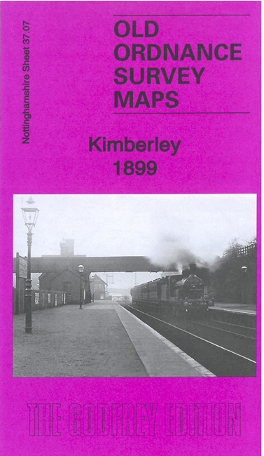
Kimberley 1899
£3.50 -

Lowdham (Yellow Walk Map)
£4.95 -
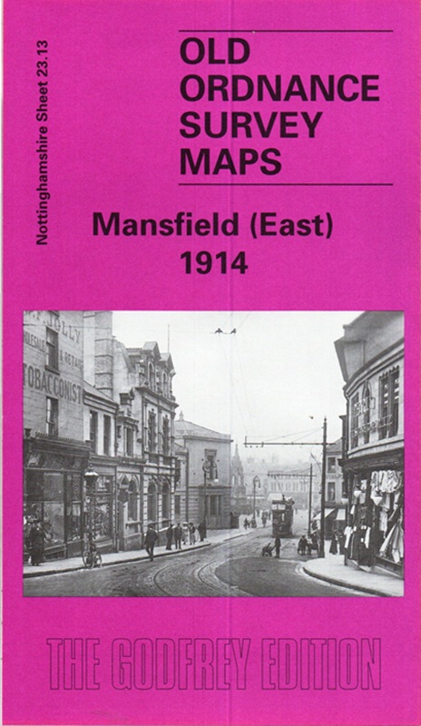
Mansfield (East) 1914
£3.50 -

Mansfield (West) 1914
£3.50 -

Mansfield & Worksop, Sherwood Forest OS Landranger 120
£12.99 -
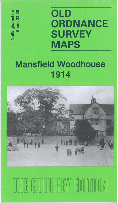
Mansfield Woodhouse 1914
£3.50 -

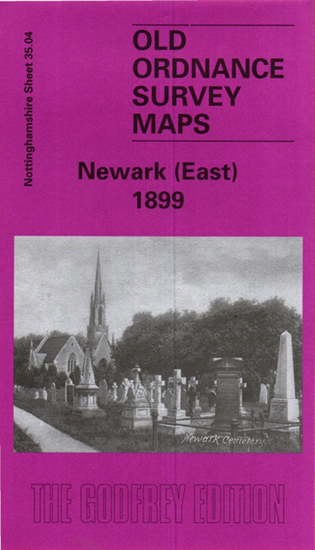
Newark (East) 1899
£3.50 -
Newark (East)1899
£3.50