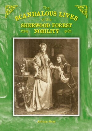
The Scandalous Lives of the Sherwood Forest Nobility
£15.00
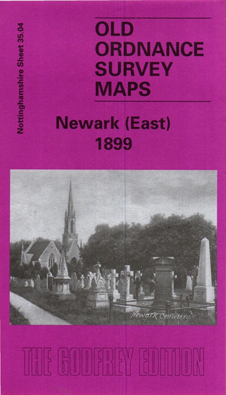
£3.50
Not in stock at the moment. Ask us about this book →
his very detailed map covers the eastern part of Newark, with coverage stretching from Wellington Road eastward to Hillside and beyond.
Features include GNR railway with Newark Junction but not station, gas works, Hatton House, engine shed, Beaconhill Road area, Cemetery (at foot of map), malthouse with railway connection, Hillside, Beacon Hill, Highfield, Great Northern Brick Works etc. On the reverse we include street directory entries for Barnby Gate, Barnby Road, Beacon Hill, Beacon Hill Road, Charles Street, Cross Street, Harcourt Street, Private Street, Vernon Street, Wellington Street.
The map links up with Notts sheet 35.03 Newark to the west and 30.16 Newark North to the north.
Most orders go by Royal Mail 2nd class; larger parcels may go with another courier. Postage is calculated by weight at checkout.
If a book arrives damaged, contact us and we'll put it right. You can also return books within 14 days of delivery: see Delivery & returns.


