

No products in the basket.
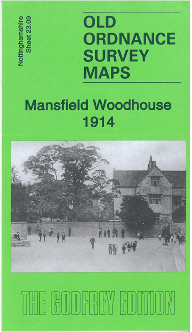
Mansfield Woodhouse 1914
£3.50
ISBN-13: 9781787214767
Description
Description
This detailed map covers Mansfield Woodhouse, just N of Mansfield itself, and the rural area to the east.
Features include St Edmund’s church, High Street area, Woodhouse Castle, Clerkson’s Hall, part of Sherwood Colliery, railway approaches (but not station), Woodhouse Place, Rushpool Farm, etc. An 1891 directory of Mansfield Woodhouse is included on the reverse.
The map links up with sheet 23.13 Mansfield East to the south. Introduction by Barrie Trinder
Additional information
Additional information
| Weight | 0.025 g |
|---|---|
| Format | Paper |
| Publication Date | 2021 |
| Publisher | Alan Godfrey Maps |