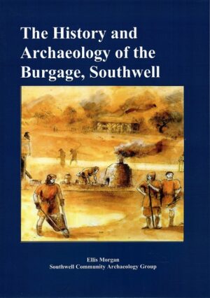
The History and Archaeology of the Burgage, Southwell
£8.00

£3.75
We don't have this in stock at the moment, but we can order a copy in for you. Usually posted within 3–5 working days.
We don't have this in stock at the moment, but we can order a copy in for you. Usually posted within 3–5 working days.
This very detailed map covers the north part of Nottingham, including the Carrington area, much of Mapperley and Alexandra Park. Coverage stretches from Exeter Road eastward to The Wells Road, and from St Ann's Hill northward to Percival Road.
Features include Forest House, tramways, Carrington station, Sherwood Hill Works, Forest Recreation Ground, Bellevue Reservoir, St John's church, Hungerhill Gardens, Stonepit Coppice Gardens, Alexandra Park area, Lunatic Asylum, Mapperley Hall, St Jude's church, Carrington Market Place etc. On the reverse are street directory entries for Magdala Road, Redcliffe Road, Private Road, Sherwood Rise, Woodborough Road in 1902.
Every order is posted by Royal Mail. Postage is calculated by weight at checkout.
Orders are firm sale. If a book arrives damaged, please contact us first and we'll arrange its return.