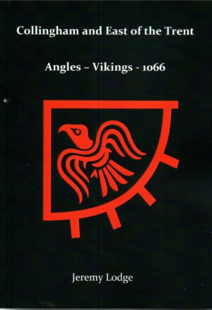
Collingham and East of the Trent: Angles - Vikings - 1066
£14.00

£3.50
Not in stock at the moment. Ask us about this book →
This Inch to the Mile map covers the area from Shireoaks and Worksop eastward to Gainsborough and Knaith, and from Bawtry southward to Welbeck Abbey. Retford is near the centre of the map. The River Trent winds along the eastern edge, and the Chesterfield Canal weaves its way across the map. On the reverse we include a detailed map of Shireoaks, which includes the station, canal and part of Shireoaks Colliery.
The Nottinghamshire villages covered include Askham, Babworth, Barnby Moor, Bawtry, Beckingham, Blyth, Bole, Carlton in Lindrick, Clarborough, Clayworth, Cottam, Dunham, East Drayton, East Retford, Eaton, Elkesley, Everton, Gamston, Gringley on the Hill, Grove, Harworth, Hayton, Headon, Hodsock, Laneham, Littleborough, Lound, Mattersey, North Leverton with Habblesthorpe, North Wheatley, Ragnall, Ranskill, Saundby, Scaftworth, Scrooby, South Leverton, South Wheatley, Sturton le Steeple, Styrrup, Sutton, Torworth, Treswell, Walkeringham, West Burton, West Drayton, Wiseton, Warsop.
Most orders go by Royal Mail 2nd class; larger parcels may go with another courier. Postage is calculated by weight at checkout.
If a book arrives damaged, contact us and we'll put it right. You can also return books within 14 days of delivery: see Delivery & returns.


