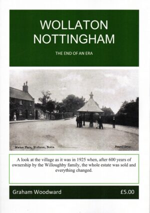
Wollaton Nottingham: The End of an Era
£5.00

£3.50
Not in stock at the moment. Ask us about this book →
Introduction by John Gough.
This One Inch to the Mile map covers the area known as The Dukeries, and part of Sherwood Forest. Coverage stretches from Market Warsop eastward to the River Trent and North Collingham, and from Fast Markham southward to the northern outskirts of Newark (Newark station is at the foot of the map). The only towns on the map are Tuxford and Ollerton, though there are several great estates, such as Welbeck Park, Thoresby Park, Wellow Park. On the reverse is a more detailed map of Sutton upon Trent, complete with directory.
Most orders go by Royal Mail 2nd class; larger parcels may go with another courier. Postage is calculated by weight at checkout.
If a book arrives damaged, contact us and we'll put it right. You can also return books within 14 days of delivery: see Delivery & returns.